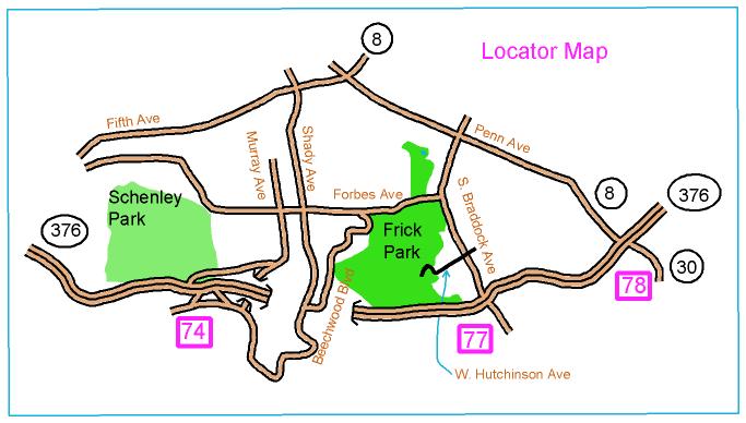
Directions to Frick Park (Ravine area)

Directions to Frick Park (Ravine area)
From I-376, take the Edgewood exit (number 7) and follow S. Braddock Ave, going north. At the first traffic light, turn left onto W. Hutchinson Ave. After four blocks, at the intersection with Lancaster Ave, a sign saying "Frick Park" is visible with a road to the right, descending into the park. Take the road into the park and follow the red and white orienteering signs to parking. We are at the Falls Ravine Shelter, about 200 m north of the parking area.
Here is a Google maps link to where you turn into the park
The GPS coordinates for the park entrance are 40.431220 N, 79.898009 W